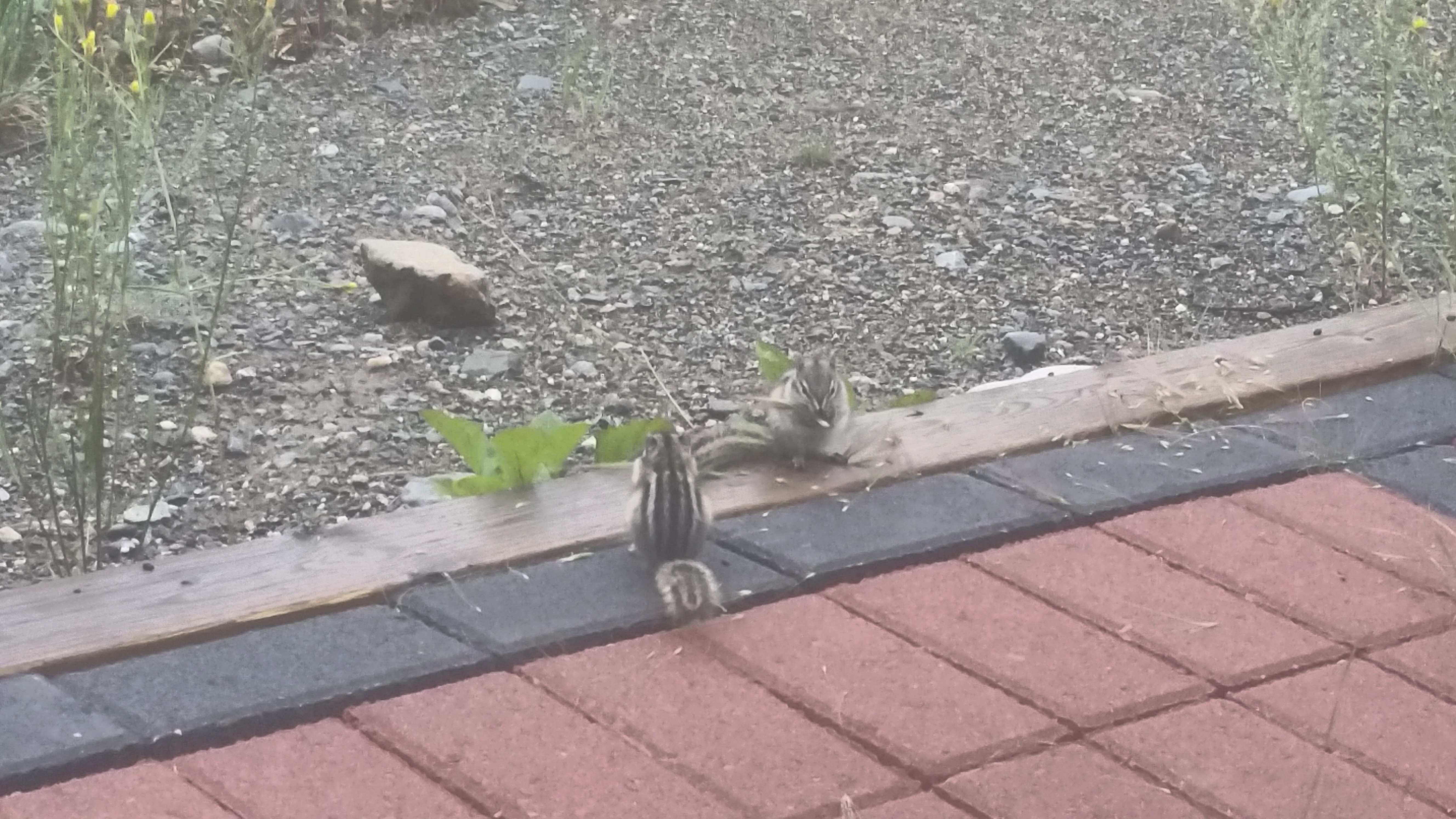
This is day 12 of a trip to Alaska, part 10 of 12. Click here for the prior and next entries.
At the Takhini hostel, up at 7:30am, breakfasted on our groceries: coffee, Cheerios with bananas and toast with peanut butter. Skies looked clear but it was cold with low lying fog in the valleys. Optimistically, we checked out of the hostel and drove to the airport, which was IFR with a thin layer of fog. I used the pilot office to get a weather briefing: bad weather to the SE, a huge pile of cold moist air was socking in everything to the SE of us. Chances were, enough sun to burn it off would also be enough to make thunderstorms.
We drove into Whitehorse to Starbucks. I planned an alternate route down the trench, Whitehorse to Dease Lake to Prince George, using paper charts and my tablet. Calculating this with the leg distances, headings, and fuel calculations took over an hour. Then I used the Starbucks WiFi to get an updated briefing. Conditions were improving.
We lunched at the local Vietnamese place, then back to the airport. At the pilot lounge I got an updated briefing. The center of the bad weather was over the trench, hammering it with big thunderstorms. No way were we getting through that, whether direct or via Dease Lake. But it looked like we could make it to Watson Lake, Nelson Lake, and maybe down to Ft. St. John. I filed a flight plan to Ft. Nelson, 2 legs, with enough time for a fuel stop at Watson Lake. If upon arriving Ft. St. John looked good, we’d fly that leg. Either way, we’d be a step or two further along our way.

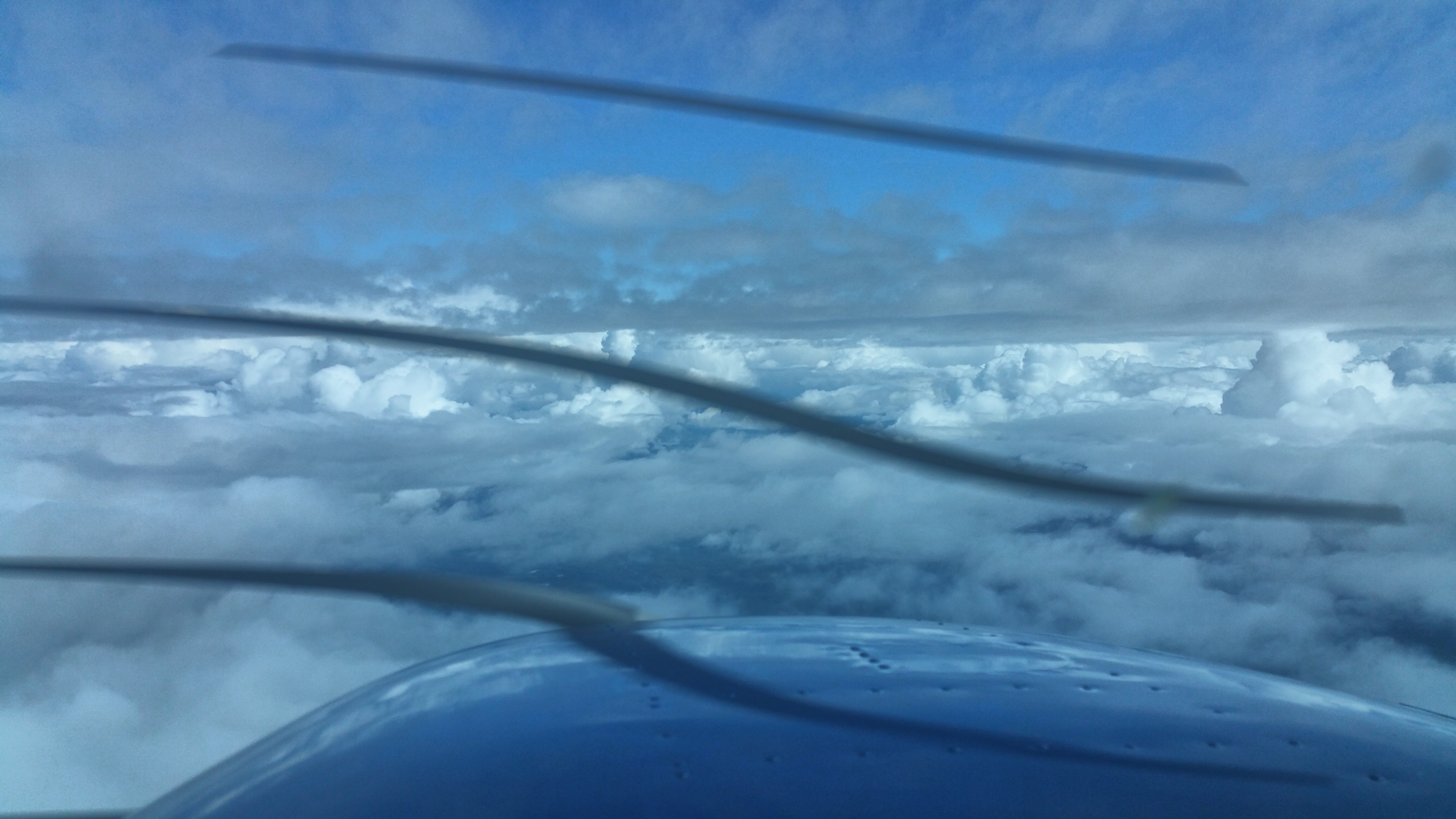
We flew above the layers at first, then the layers got thicker and higher. When we got to 12,000′ and the layers were still rising, we descended below them and followed the valleys, dodging scattered rain showers that would develop into thunderstorms later in the afternoon.
Flight time: H 83.9 – 86.0 = 2.1 hrs
Flight track: https://hangar.naviatorapp.com/20338/cyxy-to-cyqh
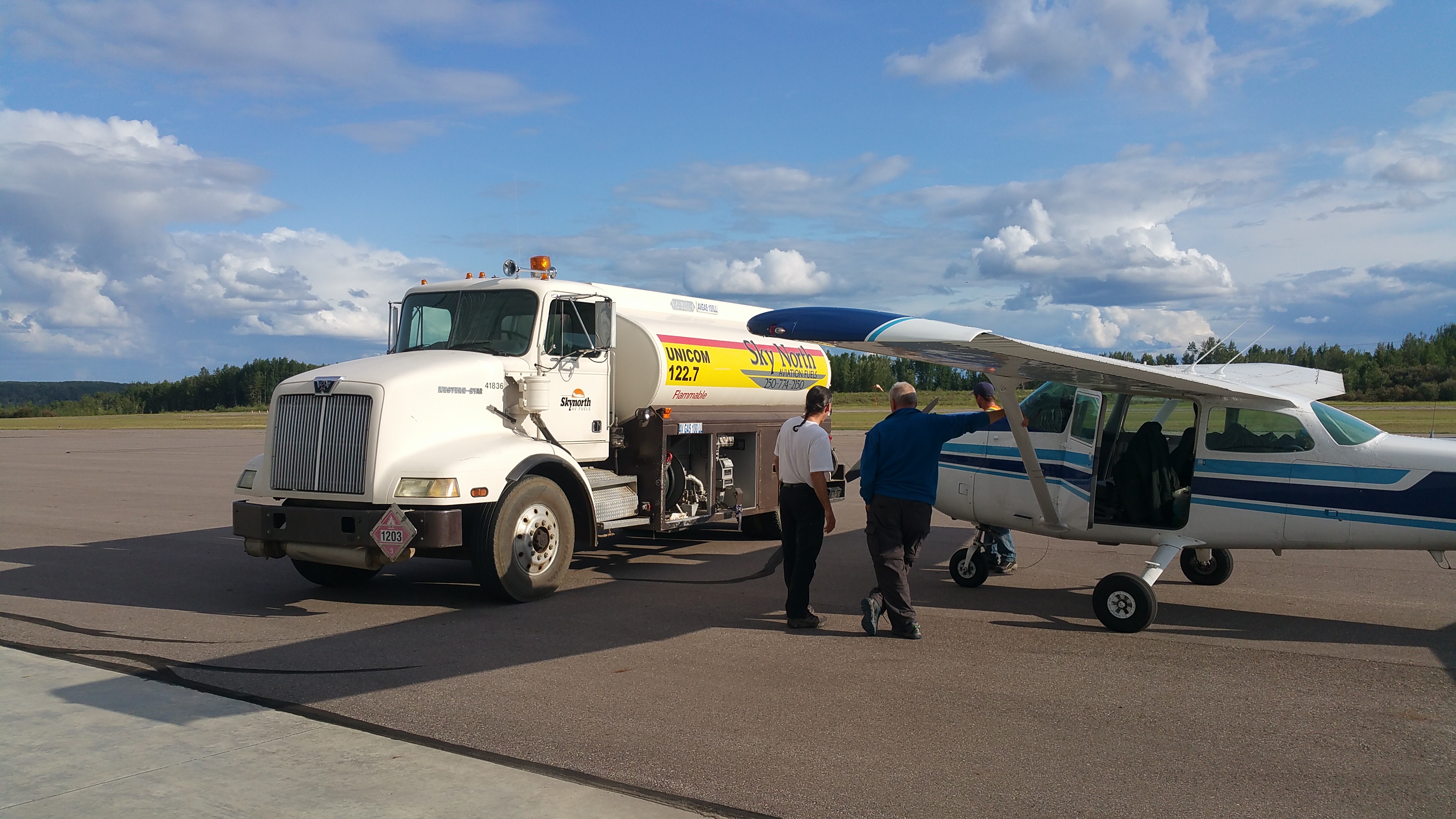
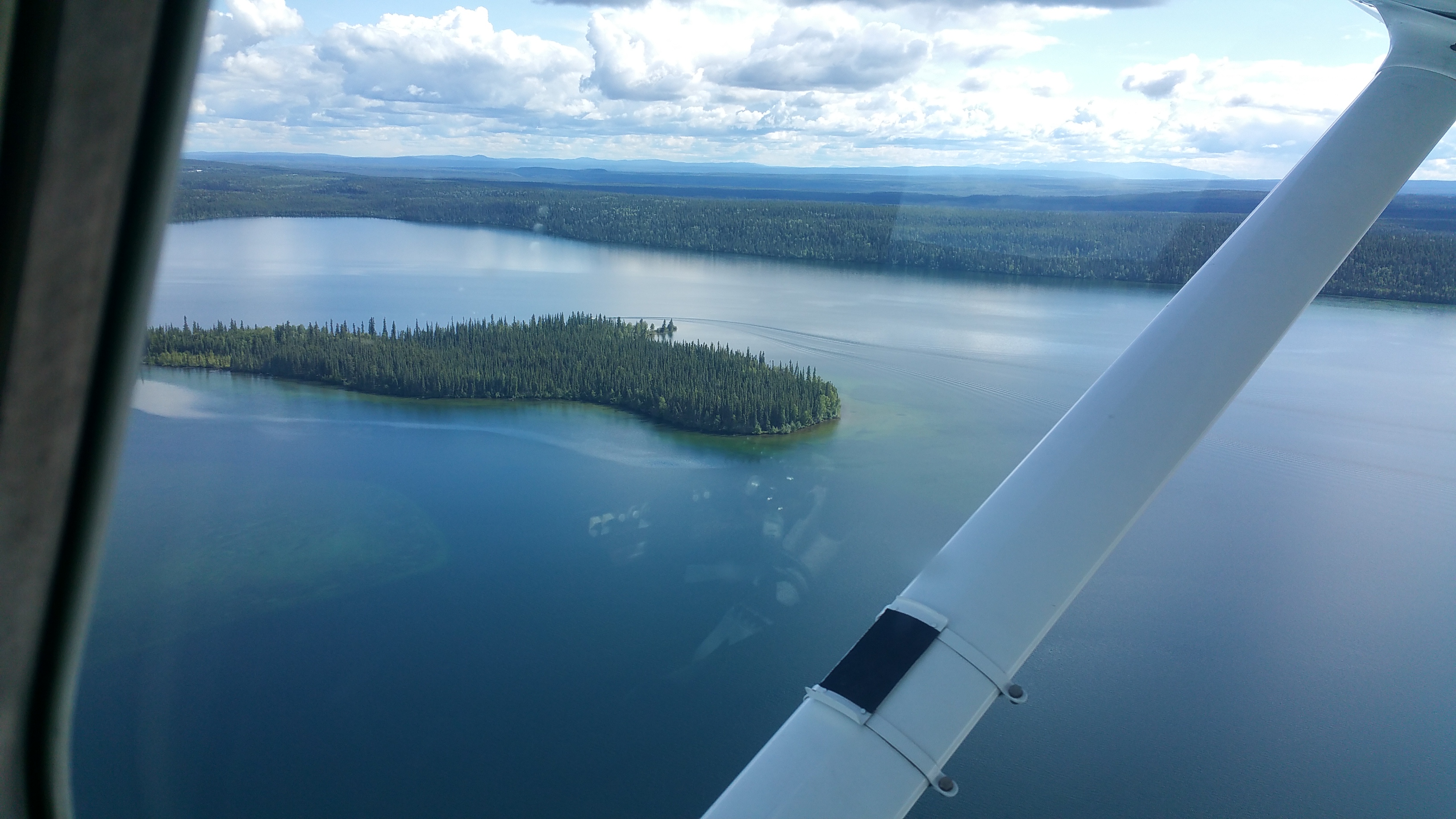
At Watson Lake we refueled and departed for Ft. Nelson. Since we came up the trench on our way out, this would be a new destination, further E along the AlCan highway.
Flight time: H 86.0 – H88.0 = 2.0 hrs
Flight tracks:
https://hangar.naviatorapp.com/20337/cyqh-to-ca-0207
https://hangar.naviatorapp.com/20336/cbf8-to-cyye
After arriving at Ft. St. Nelson, we refueled again and I got a briefing for the flight S to Ft. St. John. The bad weather was closing in, but the forecast was we could beat it there since it is only a 90 minute flight.

We departed and I ran the airplane at high speed cruise (2600 RPM, 120 kts TAS). As we headed S we had clear VFR under a high layer at 7,000′ to 8,000′, but we could see dim grey and rain in the distance, where we were heading.
The weather got to Ft. St. John ahead of schedule and beat us there. As we arrived the airport was reporting VFR, but we had to fly through MVFR heavy rain and limited visibility to get there. Fortunately, I always record the position of my destination airport with a VOR radial and distance. Without this, I would not have found the airport in these conditions, and would have had to turn around and head back to Ft. Nelson. VFR minimums (3 miles visibility) are sufficient for keeping the shiny side up, but not for navigation. My tablet app (Naviator) crashed just as we approached the worst of the poor visibility and had to find the airport, reminding me why I use VORs. We flew direct to the VOR, made a single left turn and the airport appeared right in front of us, spot-on the 100° radial at 6 miles. Winds favored runway 12, which was right in front of me. We landed, taxied to the grass, and unloaded, all in heavy rain as the ceilings lowered and weather worsened around us. Soon after, the airport went to IFR.
Flight time: H 88.0 – 89.6 = 1.6 hrs
Flight track: https://hangar.naviatorapp.com/20335/cyye-to-cfj7
The FBO let us inside. We called around and found a hotel that sent a shuttle to pick us up. While waiting we met a security lady who told us about the local rodeo. From her appearance and demeanor, I suspect she was a cowgirl herself. We shuttled to the hotel, walked to Boston Pizza for dinner, then hit the sack.