Category Archives: Flying

Spins!

Spins can be a contentious topic among some pilots because not all airplanes are approved for intentional spins, the maneuver is no longer required for private pilot certification (though it is for becoming a CFI), and the reason the FAA removed the spin requirement was because spin training was causing more deaths than than the training was preventing.

However, I believe spins still make valuable flight training, when approached from a careful perspective. Entering & recovering from spins is quite simple, not requiring the kind of stick and rudder finesse of other maneuvers like chandelles. But spins do something that those maneuvers don’t: they familiarize the pilot with aggressive airplane behavior under unusual attitudes, and reinforce a methodical response rather than panicked reaction.

Review: what is a spin? It’s when an aircraft is stalled, and one wing is more stalled than the other. You can’t spin unless you first stall, and for a stall to become a spin, the angle of attack must be different on each wing. That means your flight must be uncoordinated. Conversely, if you maintain coordination you will never spin, even if you stall the airplane while banked in a turn. Spins are sometimes confused with a tight spiral dive, especially in airplanes like the 172 that are spin resistant. That is, the pilot attempts to spin the airplane, but he fails to overcome the airplane’s spin resistance and the stall becomes a tight spiral. Videos like this are common on youtube (“Hey, watch this spin!” … That’s not a spin, it’s only a spiral dive. Looks like you don’t really know what a spin is.).

Before spinning an airplane, here are some regs to consider:

  • Aerobatic flight: FAR 91.303
    • Away from congested areas, assembly of people, airways, controlled airspace
    • Above 1500′ AGL
    • At least 3 miles visibility
  • Parachutes: FAR 91.307
    • Required when you have passengers (non crewmembers) on board and…
    • Intentionally banking > 60*, pitching > 30*
    • Exception for maneuvers required for certification, including spins, when given by a CFI
    • For more detail, see PS at the bottom of this page.
  • Airplane limitations: the POH
    • Airplane must be approved for intentional spins
    • The POH may specify W&B necessary for spins: follow it
    • The POH may specify spin recovery different from the standard PARE: know it

Further thoughts on parachutes. It doesn’t help you if you can’t get out of the airplane. And it’s pretty darn hard to get out of an airplane in flight. Even at slow airspeeds there’s so much air pressure on the doors it’s hard to open them enough to depart the airplane (especially if said airplane is not in straight & level flight, but spinning or otherwise flailing around the sky). That’s why skydiving airplanes have a door entirely removed, or a special door designed to open in flight. Also, a chute doesn’t help you if you don’t know how to use it. Woe betides you if the first time you ever have to use a chute for real, is a bona fide emergency. So if you’re doing aerobatics and wearing a chute, believing you’re both legal and safe, you may be deluding yourself. Ensure you have a way to depart the aircraft while in flight, and do a few jumps to familiarize yourself with the chute.

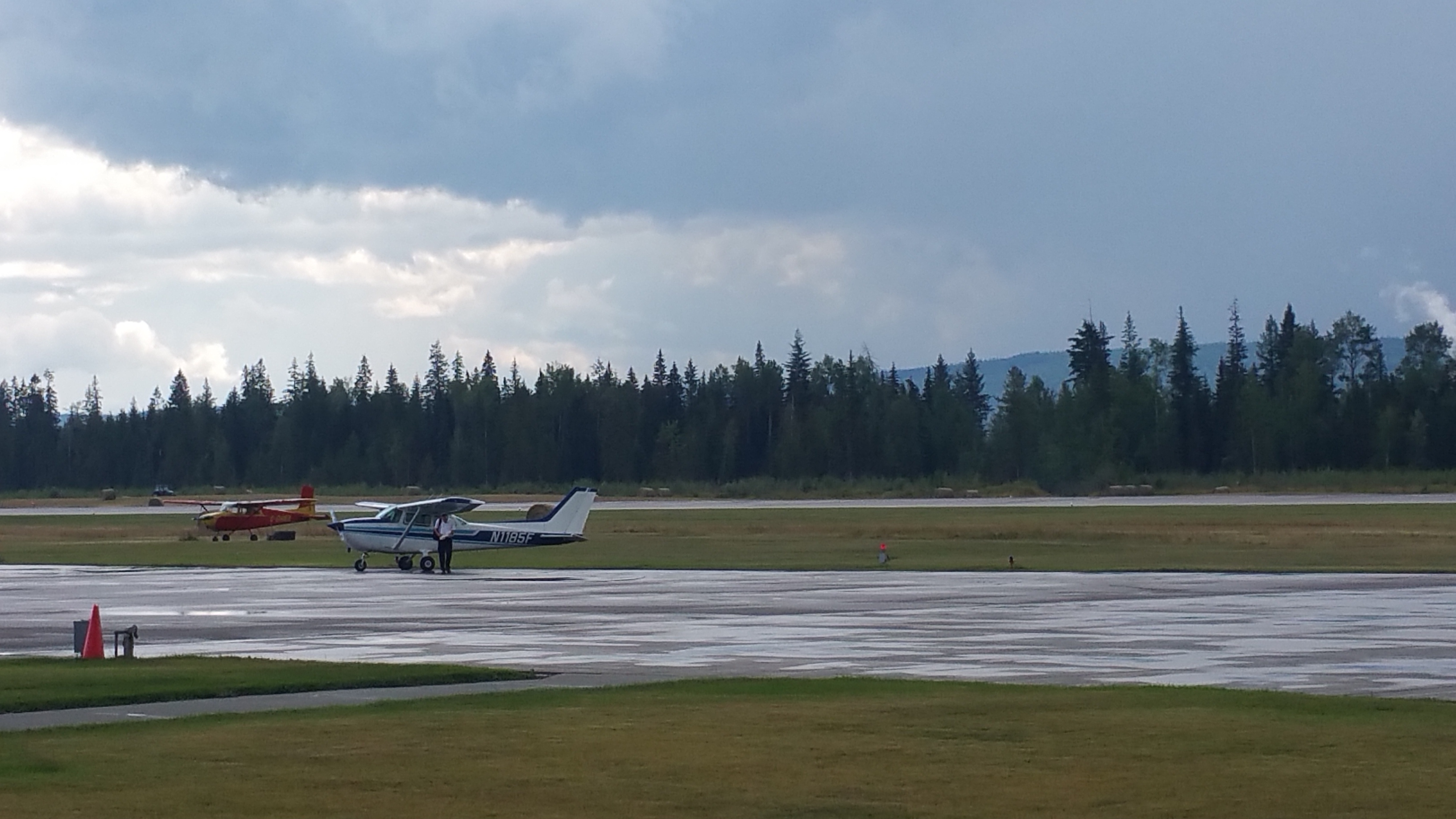
Here’s how I interpret this flying my 1980 C-172 Superhawk.

  • Spins are approved only in utility class, which means GW < 2100# and CG < 40.5″.
    • With 180# solo pilot, fuel must be 35 gals or less (full fuel is 40 gals).
    • With 2 people up front, any amount of fuel can be used so long as total weight < 2100#. With full fuel, that’s up to 380# in front seats.
  • Empty back seat, baggage, tail; clean airplane with no FOD.
    • Last thing you want is loose items flying around the cabin, possibly obstructing the controls or lodging in the tail cone, moving the CG rearward.
  • If you’re doing spins solo or with a CFI, you don’t need parachutes (and they wouldn’t be much help in a 172, unless you removed a door before flight). If you have a passenger, you do need them.
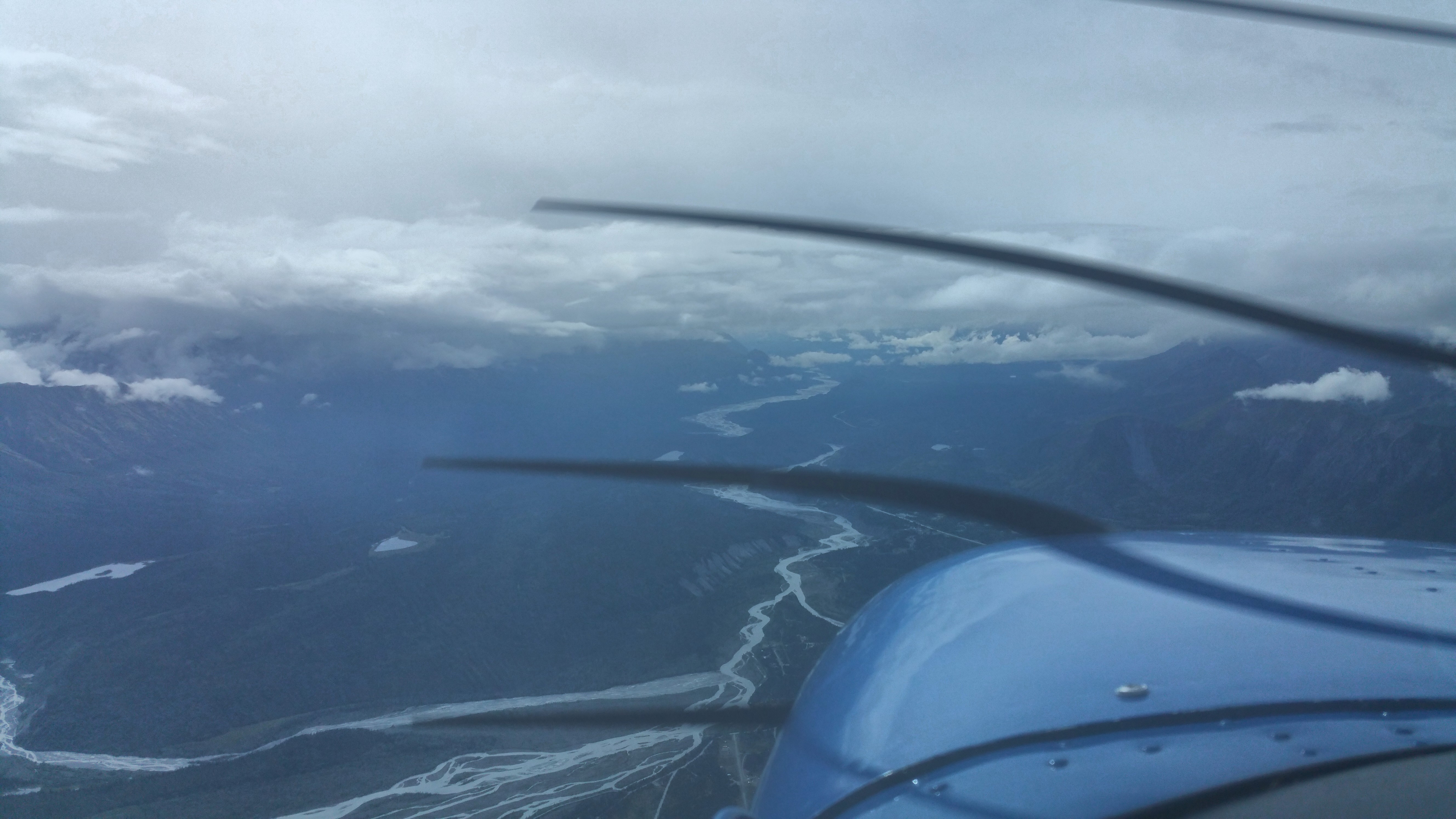
  • Altitude: at least 6,000 AGL for spins up to 2-turns (higher for more).
  • Spin entry: Cessna 172 L and later models don’t like to spin and will only spiral unless the spin is entered with an aggressive stall. So:
    • Start with a partial power-on stall, so you have a higher nose angle and a crisp breaking stall.
    • Just as the stall breaks (not before), briskly pull the yoke all the way back and stomp full rudder in the direction you want to spin.
      • NOTE: it will spin L easier than R due to engine torque, but you can spin it in either direction.
    • If the airplane goes into a spiral instead of a spin, immediately release the pro-spin inputs, level the wings, climb back to altitude and try again.
      • NOTE: how to tell if you’re in a spin, or just a tight spiral?
      • A spin is a low-G maneuver: the airplane is mostly unloaded and you don’t feel much G force (even though you’re spinning around). If you feel significant Gs, you’re probably in a spiral not a spin.
      • In a spin, the stall horn squeals loud and hard constantly. If the stall horn is silent, or is just barely squealing, you’re probably in a spiral not a spin.
      • In a spin, the airplane rotates quickly: it literally spins. If the airplane is “flying” around in tight circles, you’re in a spiral not a spin.
    • While spinning, hold these pro-spin control inputs at full maximum.
  • Spin recovery: Cessna 172s follow the standard PARE (power, aileron, rudder, elevator) recovery. They are spin-resistant and will recover instantly as soon as you reduce pressure on pro-spin controls. However, best practice is to firmly apply proper anti-spin controls:
    • Throttle to idle (pull all the way back)
    • Ailerons neutral
    • Briskly stomp and hold full opposite rudder
      • If you’re not sure which way you’re spinning, look through the windshield at how the Earth is rotating:
        • If CW, stomp R rudder (you’re spinning to the L)
        • If CCW, stomp L rudder (you’re spinning to the R)
    • Just after the rudder hits the opposite stop, briskly push the yoke forward
    • Hold these anti-spin inputs until rotation stops
      • NOTE: as soon as rotation stops, the spin becomes a steep dive. You must take the next step quickly to avoid over-speeding or over-stressing the airframe.
    • Neutralize rudder and smoothly pull out of the dive
      • If you pull too hard, you may exceed airframe G limits
      • If you pull too gently, you may exceed airframe Vno speed

PS: The regulations may allow more than just a CFI as an exception to parachutes rule. This postscript develops this topic.

FAR 91.307 requires parachutes for aerobatic flight only when there are non-crewmembers on board. Specifically:  no pilot of a civil aircraft carrying any person (other than a crewmember) may execute any intentional maneuver that exceeds…

Here’s how 14 CFR 1.1 defines a crewmember: Crewmember means a person assigned to perform duty in an aircraft during flight time.

Note that 14 CFR 1.1 does not specify what that duty must be. And FAR 91.307 does not say “required crewmember”. By this definition, a crewmember is anyone the PIC (pilot in command) says is a crewmember. As PIC, I can say to the right front seat passenger, “Please look out the window and tell me when you see other airplanes.” If she agrees, she’s been assigned a duty during flight making her a crewmember.

Having done this, we can legally do spins and other aerobatic maneuvers without wearing parachutes because everyone on board the airplane (other than the pilot)  is a crewmember, which complies with the exception in FAR 91.307.

Now, whether this is a good idea, or whether you want to test this interpretation with the FAA, is an entirely different question. This is a convoluted interpretation of the regulations and I mention it only for academic interest – it’s useful to chase down the regs and read what they actually say! The intent of FAR 91.307 seems clear: the FAA doesn’t care if you want to risk your own life – as a private pilot you’ve earned the right to make your own risk decisions. But when your decisions involve the safety of other people, the FAA sets minimum standards to a higher bar.

Alaska 2018: Day 14 (12 of 12)

This is the last day of a trip to Alaska, part 12 of 12. Click here for the prior entry, here for the introduction.

I wanted a good meal so Dave and I hit the local W for breakfast. The don’t have a website, but they did make a good vegetarian omelette with great crispy cubed taters even if the coffee was weak.

Back at the hotel, I used their office space to get a weather briefing. Bad weather was still covering the Trench, but it was clearing out in parts so I would check again around 11am. Meanwhile, I read Yukon Wings, the book Bernd got me for my birthday. It’s a great book, and mine is signed by the author.

At 11, the weather looked better. We could definitely get to Prince George, and maybe Quesnel and Williams Lake. If not, we’d at least get over the mountains separating us from the Trench, and one step closer to home. I filed a flight plan to Williams Lake with an alternate for Quesnel. We checked out of the hotel, drove to the airport, and Bernd returned the car while I preflighted the plane and called the FBO to fuel us up.

20180721_130638_DRO
Approaching mtn pass SW of Ft. St. John

We departed at 12:30 local time heading SW. Skies were mostly scattered, broken in isolated areas, at about 8,000′. This is enough for good VFR through the passes to Prince George.

20180721_132742
Hills in the trench NE of Prince George

The flight over the mountains, into the trench and past Prince George was scenic though uneventful. As we turned S toward Quesnel we could see small isolated thunderstorms in the distance ahead. I wasn’t going to fly into that so as we flew over Quesnel I called their MF and reported I’d land there.

Here, I encountered a difference between US and Canadian procedures. Quesnel (CYQZ) is a non-towered airport at elevation 1,800′, so pattern altitude is 2,800′. They have a class E airspace that goes up to 4,800′. I flew over and announced mid-field at 4,500′. This is a safe, legal way to approach a non-towered airport in the US. Midfield, you don’t conflict with arriving or departing traffic, and 1,700′ above pattern altitude puts you high enough to avoid conflicts with anyone in the pattern. And approaching from that height and direction, you have great visibility for any other planes in the area so you can smoothly merge into the pattern. However, in response to my radio call, the Canadian RCO berated me, saying I violated their airspace and should announce at least 5 miles out. They asked did I have a CFS on board? I assumed they meant a Canadian Flight Supplement and replied “affirmative”. Then the RCO said there were no other airplanes in the area so it did not cause any separation issues, don’t worry about it. I resisted the urge to reply that was obvious because from mid-field, 1,700′ above pattern at a non-towered airport, I was looking out for myself and could see that. Instead, I kept my mouth shut. “Nothing” is often a wise thing to say.

20180721_143755
Quesnel

After I landed a local Canadian pilot walked up to my airplane, said he was listening on his radio, that I did nothing wrong, that RCO had been chewing out pilots for no good reason. He was going to call the RCO and complain about their poor service. I told him I was a visitor in their country and despite having studied the differences in US-Canada flight procedures, I could have missed something. I don’t know who was right: this friendly pilot or the RCO, so I’ll consider it a lesson learned: in Canada, the RCOs want you to announce before entering the class E area of an airport, even when the airport is non-towered.

After landing, we refueled and parked. About 30 minutes later, one of those scattered t-storms came through and dumped an amount of heavy rain that belied its small size.

Flight time: H 89.6 – 91.6 = 2.0 hrs
Flight track: https://hangar.naviatorapp.com/20353/cyxj-to-cyqz

I called NavCanada to get a briefing. Wiliams Lake was socked in, MVFR, but if we could get past there, we’d have clear conditions through Hope, Abbotsford and to Seattle. We decided to wait a couple of hours in Quesnel and check again. They have a nice pilot lounge so worst case, we could stay there for the night. We ordered a pizza and charged our devices while waiting.

The second weather briefing for Williams Lake looked better; the weather was moving to the E. And, 2 pilots entered the lounge on their way to Atlin. They had flown N from where we were going. They were older guys, experienced with the area. The pilot was a former FAA inspector. They said conditions were OK and we’d pass by just fine.

Armed with this knowledge, I filed an international flight plan from Quesnel to Williams Lake, Hope, Abbotsford, then Seattle. The prior day I had filed the EAPIS. I called Seattle customs for our arrival notification. Then we departed at 5:30pm expecting to arrive in Seattle at 9:30pm. We’d be early if I could cut the corner and skip Hope. Seemed like we’d been gone a long time, felt strange to imagine being back in Seattle.

Over the phone, the NavCanada briefer gave me a discrete squawk code to cross the border. After takeoff, the RCO gave me a different squawk code. I told him the briefer had given me another one. The RCO said that is unusual, they usually don’t do that. He couldn’t find the other code in the system so I went with his code 0022.

20180721_184418_DRO
Fraser River Valley
20180721_190858_DRO
Cut the corner for clear skies
20180721_191853
Mt. Baker from NE of Abbotsford

Once again, the flight was scenic yet uneventful. Since the leg was over 3 hours, I slowed down to medium power cruise for efficiency (2400 RPM) which gives over 5 hours of flight.

The long way is to follow the Fraser river all the way around to Hope then back to the W. This avoids the high altitudes needed to cross the northern Rockies. The short way is to cut the corner. On this day the SE end of the Fraser river was socked in with bad weather so we cut the corner through clear skies.

I called Abbotsford tower as we approached; they cleared us through their class C airspace (same female controller we had on Day 1, with the great sounding Australian accent) and handed us off to Victoria Approach to cross the border.

20180721_192039_DRO
Harrison Lake, NE of Abbotsford

Then we transferred to Whidbey Approach, after that cancelled flight following and continued direct to Boeing Field. We landed a few minutes ahead of schedule. Customs met us and the processing was quick and efficient. Taxi-ing back to NE parking, BFI ground didn’t reply to my radio call. Then the ground controller got grouchy with myself and several other aircraft and made several mistakes, mixing up our tail numbers and locations. Seems like he fell behind in whatever he was doing and was frustrated trying to catch up. No problem, we got our taxi clearance, tied down, unloaded and ended our 2-week adventure.

Flight time: H 91.6 – 94.8 = 3.2 hours
Flight tracks:
https://hangar.naviatorapp.com/20352/cyqz-to-wn51
https://hangar.naviatorapp.com/20351/wn51-to-wn93

Total flight time: H 59.7 – 94.8 = 35.1 hours

Alaska 2018: Day 13 (11 of 12)

This is day 13 of a trip to Alaska, part 11 of 12. Click here for the prior and next entries.

We breakfasted at the hotel then took a cab back to the airport to rent a car.  The bad weather that came in the prior night was fully upon us today. The airport was IFR. While there, I checked my airplane. It wasn’t tied down because I was on the grass, and the grass was a thin layer over hard concrete-like Earth so my screw-down grass stakes wouldn’t dig in. It was fine.

We drove to the local rodeo, but there was hardly anyone there except for the participants, and we didn’t want to sit outdoors in the rain to watch it. We’d come back tomorrow if we were still stuck here in Ft. St. John with better weather.

20180720_110028_DRO
Not many hotels have a pool slide!

The hotel had a pool with a big spiral slide, so we stopped at the local Walmart to get swim trunks. I also replaced the charger I had left in Gulkana. We lunched at the Canadian Brewhouse, which was a decent place. Then returned to the hotel, went swimming, sliding and hot-tubbing for a couple of hours. We ate dinner at a local Greek place, the Olive Tree. Bernd called his old friend Pete the Greek from Sebastopol who spoke with the restaurant owner. Both grew up in nearby towns in Greece.

That evening we finished what little whisky we had left and hoped for good weather the next day. If we were lucky, we’d make it all the way home.


Alaska 2018: Day 12 (10 of 12)

This is day 12 of a trip to Alaska, part 10 of 12. Click here for the prior and next entries.

At the Takhini hostel, up at 7:30am, breakfasted on our groceries: coffee, Cheerios with bananas and toast with peanut butter. Skies looked clear but it was cold with low lying fog in the valleys. Optimistically, we checked out of the hostel and drove to the airport, which was IFR with a thin layer of fog. I used the pilot office to get a weather briefing: bad weather to the SE, a huge pile of cold moist air was socking in everything to the SE of us. Chances were, enough sun to burn it off would also be enough to make thunderstorms.

20180718_102803_DRO
Chipmunk buddies at the hostel

We drove into Whitehorse to Starbucks. I planned an alternate route down the trench, Whitehorse to Dease Lake to Prince George, using paper charts and my tablet. Calculating this with the leg distances, headings, and fuel calculations took over an hour. Then I used the Starbucks WiFi to get an updated briefing. Conditions were improving.

We lunched at the local Vietnamese place, then back to the airport. At the pilot lounge I got an updated briefing. The center of the bad weather was over the trench, hammering it with big thunderstorms. No way were we getting through that, whether direct or via Dease Lake. But it looked like we could make it to Watson Lake, Nelson Lake, and maybe down to Ft. St. John. I filed a flight plan to Ft. Nelson, 2 legs, with enough time for a fuel stop at Watson Lake. If upon arriving Ft. St. John looked good, we’d fly that leg. Either way, we’d be a step or two further along our way.

20180719_140200
Departing Whitehorse for the last time
20180719_145745_DRO
Few above, scattered to broken below
20180719_161554
Watson Lake

We flew above the layers at first, then the layers got thicker and higher. When we got to 12,000′ and the layers were still rising, we descended below them and followed the valleys, dodging scattered rain showers that would develop into thunderstorms later in the afternoon.

Flight time: H 83.9 – 86.0 = 2.1 hrs
Flight track: https://hangar.naviatorapp.com/20338/cyxy-to-cyqh

20180719_181626
Fueling at Ft. Nelson

At Watson Lake we refueled and departed for Ft. Nelson. Since we came up the trench on our way out, this would be a new destination, further E along the AlCan highway.

Flight time: H 86.0 – H88.0 = 2.0 hrs
Flight tracks:
https://hangar.naviatorapp.com/20337/cyqh-to-ca-0207
https://hangar.naviatorapp.com/20336/cbf8-to-cyye

After arriving at Ft. St. Nelson, we refueled again and I got a briefing for the flight S to Ft. St. John. The bad weather was closing in, but the forecast was we could beat it there since it is only a 90 minute flight.

20180719_185102_DRO
Between Ft. Nelson and Ft. St. John

We departed and I ran the airplane at high speed cruise (2600 RPM, 120 kts TAS). As we headed S we had clear VFR under a high layer at 7,000′ to 8,000′, but we could see dim grey and rain in the distance, where we were heading.

The weather got to Ft. St. John ahead of schedule and beat us there. As we arrived the airport was reporting VFR, but we had to fly through MVFR heavy rain and limited visibility to get there. Fortunately, I always record the position of my destination airport with a VOR radial and distance. Without this, I would not have found the airport in these conditions, and would have had to turn around and head back to Ft. Nelson. VFR minimums (3 miles visibility) are sufficient for keeping the shiny side up, but not for navigation. My tablet app (Naviator) crashed just as we approached the worst of the poor visibility and had to find the airport, reminding me why I use VORs. We flew direct to the VOR, made a single left turn and the airport appeared right in front of us, spot-on the 100° radial at 6 miles. Winds favored runway 12, which was right in front of me. We landed, taxied to the grass, and unloaded, all in heavy rain as the ceilings lowered and weather worsened around us. Soon after, the airport went to IFR.

Flight time: H 88.0 – 89.6  = 1.6 hrs
Flight track: https://hangar.naviatorapp.com/20335/cyye-to-cfj7

The FBO let us inside. We called around and found a hotel that sent a shuttle to pick us up. While waiting we met a security lady who told us about the local rodeo. From her appearance and demeanor, I suspect she was a cowgirl herself. We shuttled to the hotel, walked to Boston Pizza for dinner, then hit the sack.

Alaska 2018: Days 10-11 (9 of 12)

These are days 10-11 of a trip to Alaska, part 9 of 11. Click here for the prior and next entries.

Bernd got a rental car delivered to the hotel and we drove to Starbucks for br20180717_094858_DROeakfast. We met the owner and also spotted a flyer for free guided nature hikes, one at 2pm. We checked out of the family hotel and into the hostel on Takhini hot springs road next to the public hot pools. Lunch at Whisky Jacks and saw David again. Stopped by the airport to get our sleeping bags out of the plane, then went to the float plane base S of town for the nature hike.

20180717_140919_DRO

Ingrid and Janie led the hike. They were friendly and knowledgable, and we had a nice group of about 10 people. We hiked out & back the scenic Miles Canyon trail, learned about local history, saw a bear swim across the river and climb up on our side about 1/4 mile away.

20180717_135943_DRO
Your travelers at Miles Canyon Trail
20180717_140227
Yukon flowing through Miles Canyon
20180717_152523_DRO
Why did the bear cross the river?
20180717_152555
To climb up the other bank
20180717_160516_DRO
Beavers around here somewhere…

After the hike we returned to the Takhini springs hot pools and spent over an hour in the water. We emerged completely enervated yet relaxed.

Bad weather was coming in and we’d be stuck in Whitehorse for another day or two.

At the hostel, another family checked in. They were a Swiss family of 5 and had spent the past 5 days hiking the pass from Skagway to Whitehorse.

Day 11, the bad weather had arrived. No way we’d be getting out today. We breakfasted at Bean North, lunched at the pizza place, and spent a few hours visiting the Yukon Transportation Museum.

We returned to the hot pools and met a Canadian couple, who recommended Ft. St. John as the best place to get stuck, of all the towns we’d hit along the way home. Back to town for grocery shopping, then back to the hostel. Met another arriving family, the parents were both teachers with 2 teenage daughters. We watched another movie and hit the sack.

Alaska 2018: Day 9 (8 of 12)

This is day 9 of a trip to Alaska, part 8 of 11. Click here for the prior and next entries.

20180716_092605
Loading the mail
20180716_093732
Packed tight, but weighed & balanced

We got up early, and Rebecca & Jody were already at work. We helped Jody load the 185 for the mail flight. It was stuffed to the gills, even so we took care to ensure it was within weight and CG.

20180716_105737
Flying with Rebecca

I got a weather briefing and things looked better. Rebecca was learning to fly, so we took her along in the right front seat for a local flight to see the sights, assess the mountain pass to the East, and give her some stick time.

Rebecca practised gentle un-coordinated turns (rudder only and aileron only) to get a feel for how too much rudder pulls you to the outside, too much aileron pulls you to the inside, and properly coordinated balances these forces, so it pulls you straight back into your seat. She also practised using a light fingertips touch on controls during cruise, trim it so the airplane’s inherent stability does the work. This enables you to better feel the airplane’s control forces talking back to you, reduces pilot workload and smooths the transition to instrument flight.

Flight time: H 78.8 – 80.3 = 1.5 hrs
Flight track: https://hangar.naviatorapp.com/20304/pagk-to-pagk

The pass was MVFR at best, but clearing, so we landed back in Gulkana and prepared to depart. Meanwhile, Rebecca showed us a mini-projector she used to watch movies from her phone. It was unusable with a broken power adapter. We found some solder in the aviation shop, a soldering iron, and I fixed it. The fix wasn’t the cleanest, but functional if fragile, and the best I could under the circumstances.

20180716_133847_DRO
Mentasta Lake up ahead

We said our good-byes and departed Gulkana for Tok, then Whitehorse. Due to the overcast, we followed the river through the mountains to Tok instead of taking Mentasta pass

This worked great. We landed in Tok, refueled, got a new weather briefing, filed EAPIS and called Customs for the flight to Whitehorse.

20180716_134354
IFR (I Follow Rivers) to Tok
20180716_161729
A rainbow between scattered showers

We departed Tok at 3pm and flew to Whitehorse via Northway, Beaver Creek, Silver Springs, then E to Whitehorse. Along the way we flew over some scattered cloud layers around Kluane Lake, then descended to fly under others. At one point we encountered small scattered thunderstorms, wide enough apart to slip between them. This put us in true old-school VFR flying through valleys following rivers and roads. We approached Whitehorse from the W through the mountain pass.

Tower gave us L downwind for 34R. We landed and tied down under the tower (not at the north ramp this time).

Flight time: H80.3 – 83.9 = 3.6 hrs (Gulkana to Whitehorse)
Flight track to Tok: https://hangar.naviatorapp.com/20305/8ak1-to-pfto
Flight track to Whitehorse: https://hangar.naviatorapp.com/20306/pfto-to-cyxy

Just behind us landed Scott in his Piper Cub. We met while fueling up. He was ferrying the airplane from Texas to Alaska for an owner. We walked to the terminal together and looked for a hotel and a place to eat. Whitehorse gets booked in the popular summer travel/cruise season. After several calls we couldn’t get a rental car but we got a room at the Family Hotel and took a taxi there. It doesn’t look like much from the outside, but they have nice staff (family owned) and great showers – incredible pressure and flow rate like standing under a waterfall! We walked to the local Boston Pizza for a hearty dinner, then hit the sack. Scott planned to get up early and on his way, so we would not see him again, at least not on this trip.

Alaska 2018: Day 8 (7 of 12)

This is day 8 of a trip to Alaska, part 7 of 11. Click here for the prior and next entries.

Day 8, Sunday, was upon us, the halfway point of our trip. We checked weather again; it looked good through the passes NE of Anchorage and to Tok, and to Whitehorse. Given the fast-changing and unpredictable weather, we decided to leave this afternoon.

20180715_111124_DRO
Dynamite: small but powerful

First, we visited the Sun Dog kennel. Jerry Sousa, the owner, was our guide. He’s a man of few words with a blunt, dry sense of humor. We met the dogs and they took us for a ride, followed by more dog visiting and a Q&A session afterwards.

20180715_103601
Dogs rarin’ to go
20180715_105025_DRO
Stopping for a drink & bath
20180715_111540_DRO
We like dogs!

When we got home I got another flight briefing; things looked good to Tok and Northway. From there, we could submit EAPIS and Customs forms and submit the flight plan to Whitehorse.

As we departed Talkeetna to the S, we dodged widely scattered thunderstorms. Then we turned E to go through Chickaloon and the other passes, which were VFR but MVFR in places.

As we emerged from the passes into the big plain toward Gulkana, the clouds over the mountains to the NE, which we had to cross to reach Tok, had turned into a giant wall of mist. This was a no-go, so we landed at Gulkana.

20180715_145848
Dodging scattered rain

Here, we pulled up to the pumps to refuel and saw something unusual. A large private jet with 2 crew manually fueling up. They didn’t know how to operate the pump; we had to help them. I suppose that can happen when somebody else is always refueling your airplane year after year. And they needed 2,000 gallons! We had fun time kidding them, then walked into the Copper Valley FBO.

20180715_153410
Matanuska glacier again

Here we met Rebecca, who was “manning” (I use that word loosely) the office. She welcomed us to tie down next to the office and use their computer to track the weather cam at the pass we needed to cross to get to Tok.

20180715_163346
Hey, did you turn on the pump?

After a couple of hours the pass wasn’t clearing, and the day was cooling off, eliminating any chance it might clear that evening. We started calling to find a place to say in town, then Rebecca said we were welcome to crash at the FBO, and it might be easier. I knew we would wouldn’t be the first, nor the last, to do this.

We got our sleeping bags, gear and remaining food from the plane – local fresh eggs and sourdough rye bread – with onions and peppers, and cooked up a scramble to share with everyone. Rebecca said Jody was flying in tonight with supplies from Anchorage. She arrived around 9:30pm and we helped unload the supplies.

We stayed up until midnight with Rebecca and Jody, sharing engaging conversation and stories, lots of laughs. Stuck due to weather, but in good company. A wonderful evening.

Flight time: H 76.8 – 78.8 = 2.0 hrs
Flight track: https://hangar.naviatorapp.com/20303/patk-to-pagk

Alaska 2018: Days 6-7 (6 of 12)

This is part 6 of an 11-part series on a trip to Alaska, covering days 6 & 7 (Fri & Sat). Click for the prior or next entries.

Due to a bad weather forecast, we were stuck in Talkeetna for a couple of extra days, re-planning hotels & flights and making the best of things. In hindsight, the bad weather forecast for the weekend never actually arrived in Talkeetna, but King Salmon and Kodiak were socked in so we couldn’t get there.

We breakfasted at the hostel and had a nice conversation with Laxmi. Cancelled plans to visit Katmai Park and Kodiak Island (hotels & flights), due to weather. Given the unpredictable weather, we decided to head back early and made arrangements in Whitehorse. This time, we avoided the Westmark and instead arranged to stay at the Takhini hostel which is next to the hot pools. I walked into town for the zip-lining trip I signed up for the prior day. That was well-organized with interesting & fun folks in my group.

20180713_095611_DRO
Zipline practice session

Dave and I lunched at the Bistro, which had a nice healthy dish of brown rice with veggies, and fresh draft beer. The people who run this place also own Sun Dog Kennel, which we visited a couple of days later. Bernd liked the Thai place and we met him there.

Dave and I walked to the river again, then back to town and met Bernd at the coffee place where Charlotte works. We bought fresh sourdough rye bread and farm eggs at the farmer’s market, then walked to the park to enjoy the free live music. We returned to the house and met Jin, a doctor visiting from Southern California.

20180713_171650_DRO
Friday music in the park

The next day (Sat) we had a breakfast of fresh sourdough rye and eggs. Did some laundry then walked to the bike shop. It was way too expensive, like they were catering to cruise ship visitors. We googled bike rentals and found David, a former fireman who runs a trailer park S of town and rents good bicycles a lot cheaper. Recommended!

20180714_125010_DRO
Biking S to Huskytown Kennel

We rode to this place called Huskytown Kennel, about 6 miles S of town. We saw a flyer for it at the house. Turns out that kennel no longer exists. At least we got a good bike ride in on a nice day. On the way back to town, we stopped at the Squirrel Cafe for a fresh tasty light lunch.

Charlotte & Liz recommended the local Sun Dog Kennel, so we went to lunch at the Bistro again and while there, planned to visit the kennel the next day.

Dave and I walked to the river and around the N, toward the railroad bridge, then E and back to the hostel the back way.

20180714_180154
N of Talkeetna

When we got to the house we met ‘Sandro and Jin, and new guests Lance and Jack. Lance was a former photographer who had lost his sight a couple of years ago. Even so, he was hiking Alaska with Jack. They were great folks and we spent an enjoyable evening getting to know them.

Alaska 2018: Day 5 (5 of 12)

This is Day 5 of a 14 day trip from Seattle to Alaska and back. Click here for the prior and next entries.

Today was Thursday. Over breakfast at the hostel, we checked the weather; clouds and rain were forecast Fri-Sun. On Sat, we wouldn’t be able to fly to King Salmon to visit Katmai Park and Brooks Camp as we planned. Time for a change in plans.

We called the hotel (Antlers Inn) and Float Plane to Katmai Park from King Salmon. Ideal would be push 2 days to Mon and visit Katmai Park on Tue. But the float plane was full all day Tue, couldn’t take us to the park until Wed. So we pushed it 3 days out, to depart Talkeetna on Tue.

The day was clear, but for a scattered to broken layer at 7,500′ obscuring Mt. Denali. We walked to the airport and took off for a 2 hour tour around Mt. Denali. This turned out to be the most scenic flight I’ve ever done. As we flew NW toward the E side of Denali, the moment we popped up through the cloud layer the peaks of the entire range came into view.

20180712_120506_DRO
First glimpse of Denali
20180712_122040
Turning around the E edge of the range
20180712_130201_DRO
Kahiltna Glacier, which we followed out
20180712_130828
Departing along Kahiltna Glacier

Denali and the range it dominates is so huge the scale throws off one’s sense of distance. Check the photo album for all the pictures, but they cannot do justice to the awe it inspires. This was the most incredible 2 hours I have spent in my airplane, well worth the entire trip.

20180712_131658
Goodbye Denali

We flew toward the E side of the Denali range, turned L and approached Denali, flying high (12,000′) and slow. We made a big slow circle, then continued W close to the mountain. It was dead calm and clear; winds at 12,000′ were only 3 kts. In our final pass heading W, we turned S to follow the Kahiltna Glacier out.

Flight time: H 74.9 – 76.8 = 1.9 hrs

Flight tracks:
https://hangar.naviatorapp.com/20255/patk-to-33ak
https://hangar.naviatorapp.com/20256/33ak-to-patk

During this flight, the Alaska Aviator Handbook came in handy, showing frequencies, reporting points and routes to minimize potential traffic.

When we returned to Talkeetna, we fueled up again at Sheldon’s and they gave us a tie-down spot on the asphalt right next to the fuel pumps. We burned 14 gallons in 1.9 hours, for 7.37 gph.

We walked to town for lunch at the Denali pub. Walked to the river, met some ladies from Oregon. On the way back I signed up to go zip-lining the next day.

At the hostel that evening, we met Danny and Laxmi, the other guests sharing the house.


20180712_123637_DRO
Approaching Denali
20180712_124055_DRO
Denali up close from 12,000′
20180712_125746_DRO
Wow
20180712_130002
Some of the lower surrounding peaks

Alaska 2018: Day 4 (4 of 12)

This is Day 4 of a 14 day trip from Seattle to Alaska and back. Click here for the prior and next entries.

Whitehorse to Northway

We breakfasted at the Whitehorse Starbucks, which is pretty nice even though they didn’t have smoothies; it’s hard to find good coffee in Whitehorse. We checked out of the hotel, loaded the plane and departed Whitehorse at 11:00am for the 2.5 hour flight to Northway Alaska.

20180711_114455_DRO
Flying over a scattered layer

Note: I filed an international flight plan with Nav Canada. But I did not have or need a discrete squawk code. Normally, one would to cross an international border. But the AK-YT border is unique and does not require a discrete squawk code (it still requires EAPIS, Customs notification, a flight plan, and the usual documentation).

20180711_120703_DRO
Kluane Lake
20180711_120357
Colorful mountains W of Kluane Lake

This is an incredibly scenic flight with mountains, Kluane Lake, some old abandoned airports, then exiting NW out of the mountains into the low lying grassy plains toward Beaver Creek (the Canadian airport just a few miles from the border), then Northway, which is in the middle of a big, flat wetland.

At one point we saw a tall, straight funnel or column sticking straight up from the river. What was that? Maybe it was a geothermal spot creating a column of steam. I don’t know!

20180711_130628_DRO
River funnel column
20180711_132305
L Base to 23 at Northway

Northway is the point of entry with Customs. We landed spot-on-time to our estimated 12:30 local time (2.5 hours, minus 1 hour since Alaska in summer is GMT-8, 1 hour behind Yukon which is GMT-7). First Alaska landing — check the box! The customs officer met us as soon as we taxied to a stop. He walked around the airplane with some kind of hand-held scanner. Then we de-boarded and declared our shotgun. He checked our passports and we had a brief conversation about living in CA, WA and AK. Then we were on our way.

Northway airport has no fuel. So after landing, we flew for 15-20 minutes up to Tok (pronounced: “Toke” – the “o” is long) to refuel. But before departing Northway we walked into the RCO and met Trek, who was manning the station. He had answered our radio calls as we approached Northway. Trek gave me the latest weather and flight briefing with some local flying advice and friendly conversation. He also told us that our flying acquaintance Paul had passed through just 20 minutes earlier. Then we departed for Tok to refuel.

Flight time: H 69.1 – 71.7 = 2.6 hours
Flight track: https://hangar.naviatorapp.com/20258/cez5-to-paor

Northway to Tok

20180711_144135
On final to 25 at Tok

Tok is a very small town with a full-service FBO, only 15-20 minutes flying from Northway.

They have a well-equipped aircraft maintenance shop and have computers and weather info. We refueled, used their computer room and phone to get a flight briefing and check the weather to Talkeetna. The pass between Tok and Gulkana looked OK, but the corridor between Gulkana and Anchorage looked marginal especially near Chickaloon pass and Sheep Mountain. We waited a while and checked the weather cams again. The trend was improving, so we took off. Worst case, we’d turn around and land at Gulkana or one of the several closer airports along our route.

Flight time: H 71.7 – 72.1 = 0.4 hours
Flight track: https://hangar.naviatorapp.com/20259/paor-to-pfto

Tok to Talkeetna

20180711_160102
Approaching Mentasta Pass
20180711_161333_DRO
Matanuska Glacier

We departed Tok flying through Mentasta pass, then SW over Gulkana, then entered the narrow pass toward Anchorage.

20180711_161341_DRO
IFR: I Follow Rivers (or Roads)

All the while, monitoring and announcing on the RCO frequencies from the Alaska Aviator Handbook.  The Tahneta RCO said Chickaloon pass was IFR, but that was outdated and incorrect. After they said that, Paul chimed in on the radio, heading to Wasilla, and said he was flying it, and it was VFR.

20180711_180515
R base to 19 at Talkeetna

It was indeed VFR, though MFR in a few spots. But the pass follows the river & the road, so you can’t get lost. We saw some incredible scenery.

Flight time: H 72.1 – 74.9 = 2.8 hours
Flight track: https://hangar.naviatorapp.com/20260/pfto-to-patk

20180711_181417_DRO
Intrepid Travelers Reach Talkeetna

Total flying for the day: 5.8 hours.

We fueled up at Sheldon’s, then took a tie-down spot on the gravel. Dave from Sheldon’s drove up in a van to take us to the Talkeetna Hostel, where we were staying.

We recommend this hostel. Liz and Charlotte, who run it, were flexible and accommodated our plans which were made unpredictable by weather. Also, the house is a clean, warm, environment and we met different interesting young travelers every day.

We walked into town, bought some groceries, had a beer at one of the bars, and headed back. That evening we met fellow guests Kevin, Fred, Erin and Laura and had fun and interesting conversations.